the toughest journeys!


Chüebodenhorn
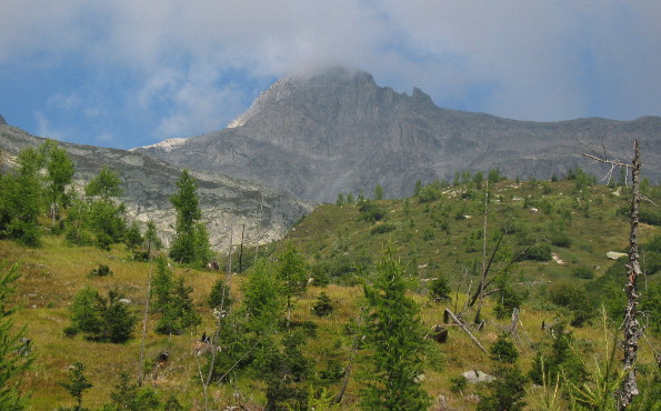
Mount Chüebodenhorn is 3'000 meters high, but can easily be climbed by hikers. To get there with a mountain bike can be more difficult...
Route
All'Acqua - Capanna Piansecco - Gerenpass - Chüebodenhorn - Gerenpass - Capanna Piansecco - All'Acqua
Journal
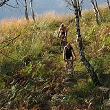
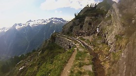
I start this tour right away with the bike on my shoulders, climbing the path that leads to Capanna Piansecco. The landscape is characterized by larches and rhododendrons, and it helps you forget the effort of the ascent. After a while however the summit of mount Chüebodenhorn appears above my head, surrounded by the clouds, and it shows me its unwelcoming sides.
Past Capanna Piansecco the landscape begins to change. The grass disappears, leaving the ground covered by stones, and I'm glad I decided to wear the boots instead of the MTB shoes. Still the ascent is an ordeal, with the path getting worse step after step.
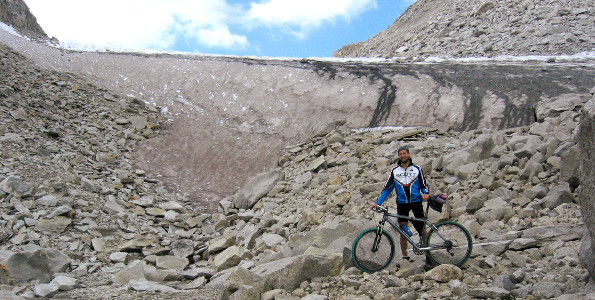
The glacier appears at 2'600 meters above sea level, and it seems to block the way. Now instead of dragging myself over the stones I drag myself over the ice...
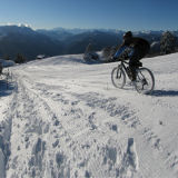
It's 4 p.m. and the summit appears to be more far away than when I started to walk, 3 hours earlier. The only consolation is that the ice is flat and I wil be able to ride it on the way down.
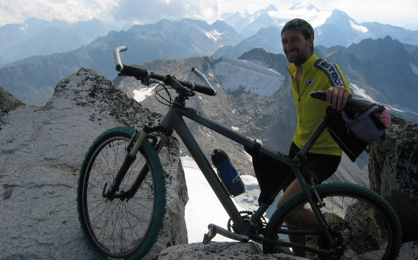
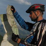
At 2'700 meters I leave the glacier and I reach the final ascent, which is made of boulders of all sizes. Even keeping the bike on my shoulders is difficult here. When I start thinking that I should just park it here and hike up to the top without it, I finally reach the summit!
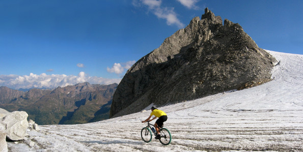
After a short pause I get into the descent. The first part is undoable, but the downhill on the glacier is wonderful, and justifies the effort of carrying the bike for that long. But soon it will start getting dark, so I get on the bumpy path and partly pedaling partly walking I reach the refuge. From there on the single-track is rideable, so I get back to All'Acqua without any further effort.
Latest updates:
Follow me on:


