the best tours
Morobbia Valley
In the past the Morobbia Valley, with the San Jorio Pass, was an important route that connected Bellinzona to the Como Lake. During the last century with the advent of motorways, it was left out of the international trades, but it's new gained isolation allowed for the smugglers, which perfectly knew the territory, to trade rice, salt and cigarettes, and thus to be the main support for their villages. These times are gone, but the pathways are still there and remind us of these people.
Route
Carena - Alpe di Giumello - Bocchetta di Sommafiume - Il Giovo - Passo San Jorio - Carena
Data sheet
Region: Morrobbia Valley
Altitude: 2012 m
Ascent: 1385 m
Length: 27 km
Time: 3.5 - 6 hours
Unrideable time: 25 - 60 minutes
Season: May - November
Skills: 4
Strength: 4
GPS Data: download
Map: show
Map
Description
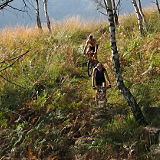
This tour starts in Carena, where the nice paved road that climbs the lower part of the Morobbia Valley turns into a gravel road. The road enters a narrow rocky valley, then it starts to climb until it reaches Alpe di Giumello, right out of the wood.
Near the stone houses you can take a steep and bumpy double-track, which will take you to a scenery plate (Piano delle Pecore), where you'll find a small lake that reflects the crown of surrounding mountains.

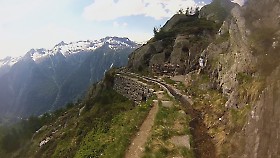
From there on you have to follow a single-track. The first part is eays, but then it gets on the border of a precipice (Buco di Giumello), and you'll have to walk.

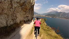
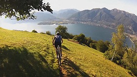
After 30 minutes you will reach the first pass of the day: Bocchetta di Sommafiume. On the other side the world is sweeter, with wider valleys, green pastures and the Lake of Como hidden between some peaks.
The descent follows a twisty track build during World War I. The first part is on open ground, then the track enters a wood of hazels. Follow the signs that indicate Il Giovo, and you will ride through a series of up and downs that diagonally cut the side of the mountains.

The Giovo refuge will appear in front of you. When you get there, keep the left and start climbing again on a steep road. You will reach Passo San Jorio, the last pass of this tour.

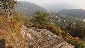
On the other side of the pass the fields are covered by stones and pebbles of any size, which make the descent very tough. You have to follow the signs to Giggio, keeping the Maggiore Lake in front of you. In Giggio you'll have to look for the pathway with white and red markings, which is on the right. Head down in the wood, which is packed with tough sections. You'll have to walk a few times again, and after many turns you'll get back to Carena.


