the best tours
Bassa di Nara
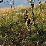
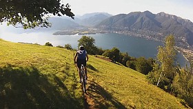
The long and indented mountain chain that separates the Blenio valley from the Leventina valley is reachable only by hikers. Right in the middle there's however a wide passage that can be accessed by bikers as well. It's the Bassa di Nara, a nice pass fully covered with grass.
Route
Biasca - Dongio - Leontica - Pro Marsgial - Bassa di Nara - Cassin - Rossura - Lavorgo - Biasca
Data sheet
Region: Val Leventina / Val di Blenio
Altitude: 2123 m
Ascent: 1820 m
Length: 56 km
Time: 3.5 - 5.5 hours
Unrideable time: 25 - 45 minutes
Season: June - November
Skills: 4
Strength: 5
GPS Data: download
Map: show
Map
Description
The climb to the Bassa di Nara pass is easier to achieve on the Blenio side, thanks to a gravel road that climbs up to 2000 meters above sea level. The starting point is Biasca, but the serious part of the ascent begins in Dongio, where a secundary road leaves the bottom of the valley and climbs toward the ski resort of Nara. After a long series of turn the road reaches Leontica, where the slope increases and the turns get tighter.

In Cancorì the destination appears behind the woods, like a huge smile carved in the outline of distant mountains. After passing the stone houses of Pro Marsgial the road gets steeper again and traverses a thick pinewood. It ends in Alpe Cambra, and for the last 200 meters of elevation the bikes will have tu be pushed uphill.

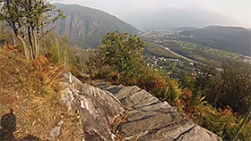
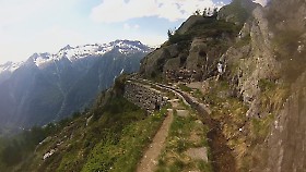
The pass welcomes you with an extraordinary panorama. From this fortunate terrace, you can look at the true soul of the Ticino region: an immense extent of stones. The road and the villages are just background actors, down on the bottoms of the valleys.
The first stop in the descent into the Leventina valley is Alpe Nara, that lies in a wide basin shielded from the find. The pastures are covered with stones of every dimensions, and even the trail presents many pebbles that make it very hard to ride.

Past the Alpe turn right, entering a nice valley populated by pines and larches. At the first befurcation head left. The trail gets flowy and reaches Cassin. Further down you can however follow another single-track that crosses woods and meadows. The path crosses the paved road a few times and ends in Rossura.

Past Rossura follow the hiking sign that reads Fusnengo. You will get on a dirt road that encircles the magnificient San Lorenzo church and a single-track that crosses a stone slab. The single-track ends in Chiggiogna. From there you can reach Biasca following the main road.


